Climate Vulnerability Index
Active · 2024–2028
GroundTRUTH and the City of Toronto are developing a Climate Vulnerability Index for Toronto’s 158 Social Planning Neighbourhoods. The work combines evidence on how existing indices are built, municipal and environmental data, building-performance modelling and community research on local risks, resources and adaptation.
Project overview
What existing indices leave out
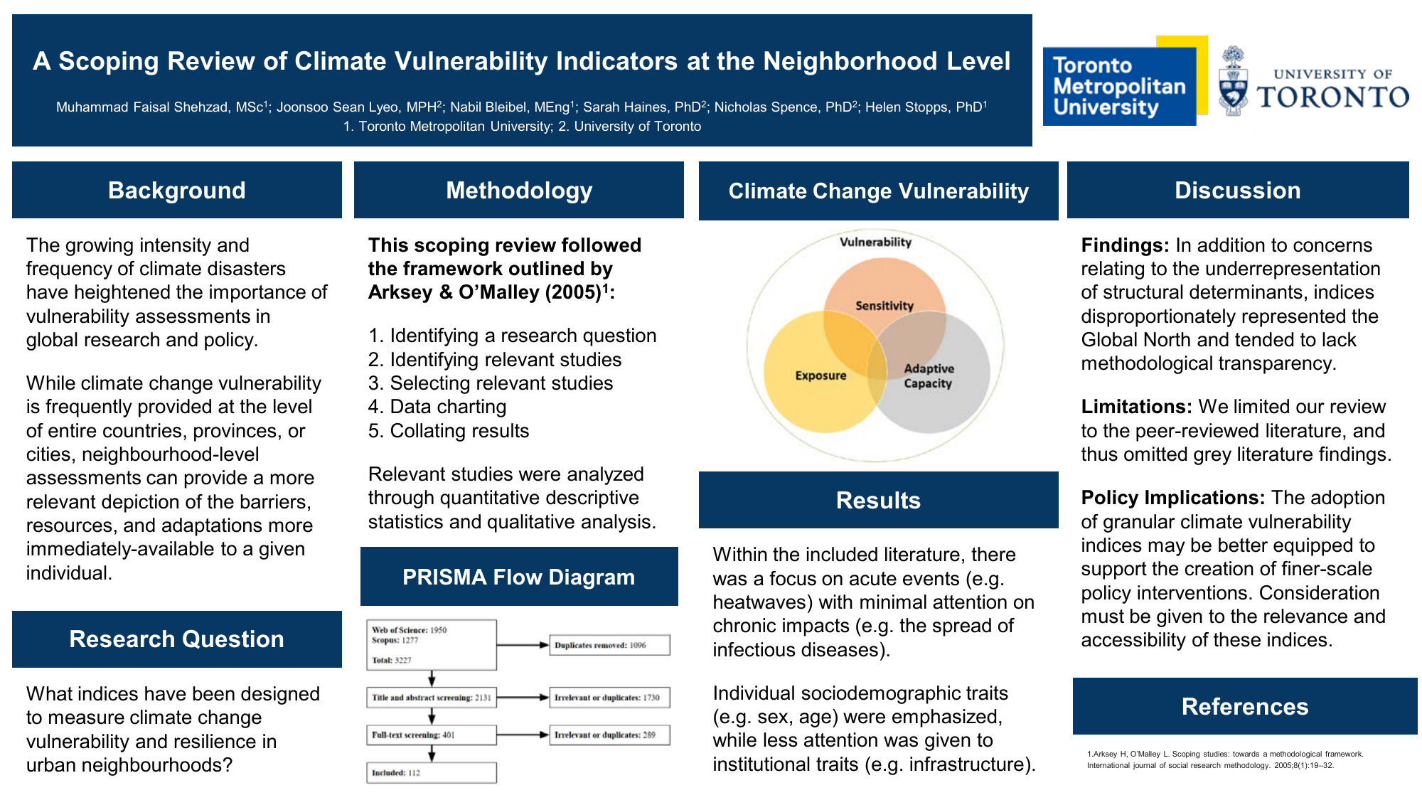
A review of 112 studies found that most climate vulnerability indices relied heavily on readily available demographic data while giving less attention to housing, infrastructure, governance and community resources. Nearly six in ten studies did not identify how their indicators were weighted, making the resulting rankings harder to interpret.
Building the Toronto index
The Toronto work combines municipal and environmental data with evidence about housing and the built environment. A community-engagement phase is designed to use workshops and interviews in selected Neighbourhood Improvement Areas to document local hazards, barriers, resources and coping strategies that city-wide datasets may not capture.
What the index is for
The aim is to show how climate hazards, existing social and physical conditions, and the capacity to respond vary across neighbourhoods. The index remains in development and should not yet be interpreted as a neighbourhood ranking.
The review at a glance
Papers
- 2026A scoping review of climate vulnerability indicators: implications for neighborhood-level vulnerability
- 2025Predicting energy consumption and thermal comfort in Toronto buildings under extreme heat events